

The Koshi River in northern India is a transboundary river that flows through Tibet, Nepal and India. It is the lifeline of communities that live along its banks. But the river landscape is changing rapidly due to climate change and other human activities.
In this series, Rahul Yaduka finds out about the challenges unique to the Koshi River in India, the government’s water management strategies and citizens’ responsibilities and adaption measures.
In the final instalment of this series, Rahul Yaduka presents historical insights to offer solutions to prevailing challenges.
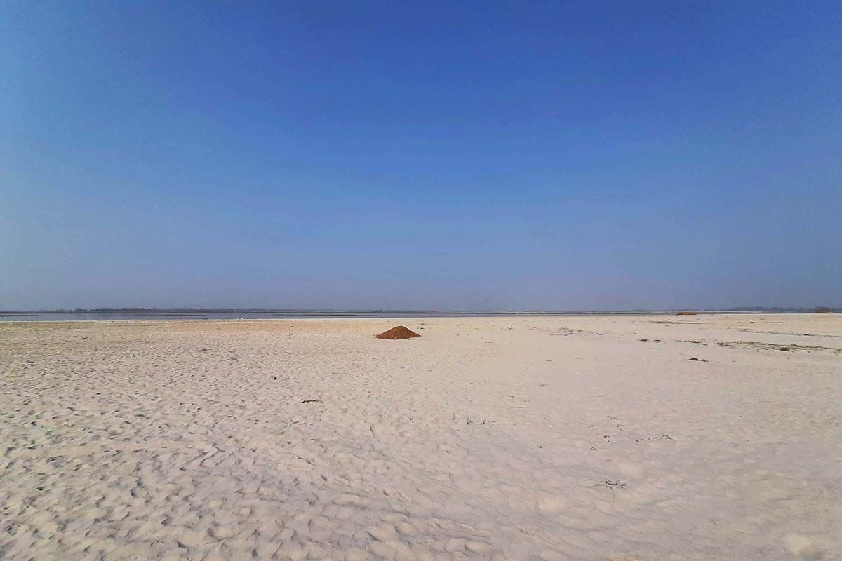
During my journey, I got a glimpse of daily life in the floodplains of the Koshi River and found how the region is in the cusp of change.
Back home from my trip, it became clear to me that the ecology of the Koshi region is somewhat fluid, in the sense that there is no structural integrity of the land, and there is a constant flip-flop between the land and the water, thanks to the ever-changing path of River Koshi.
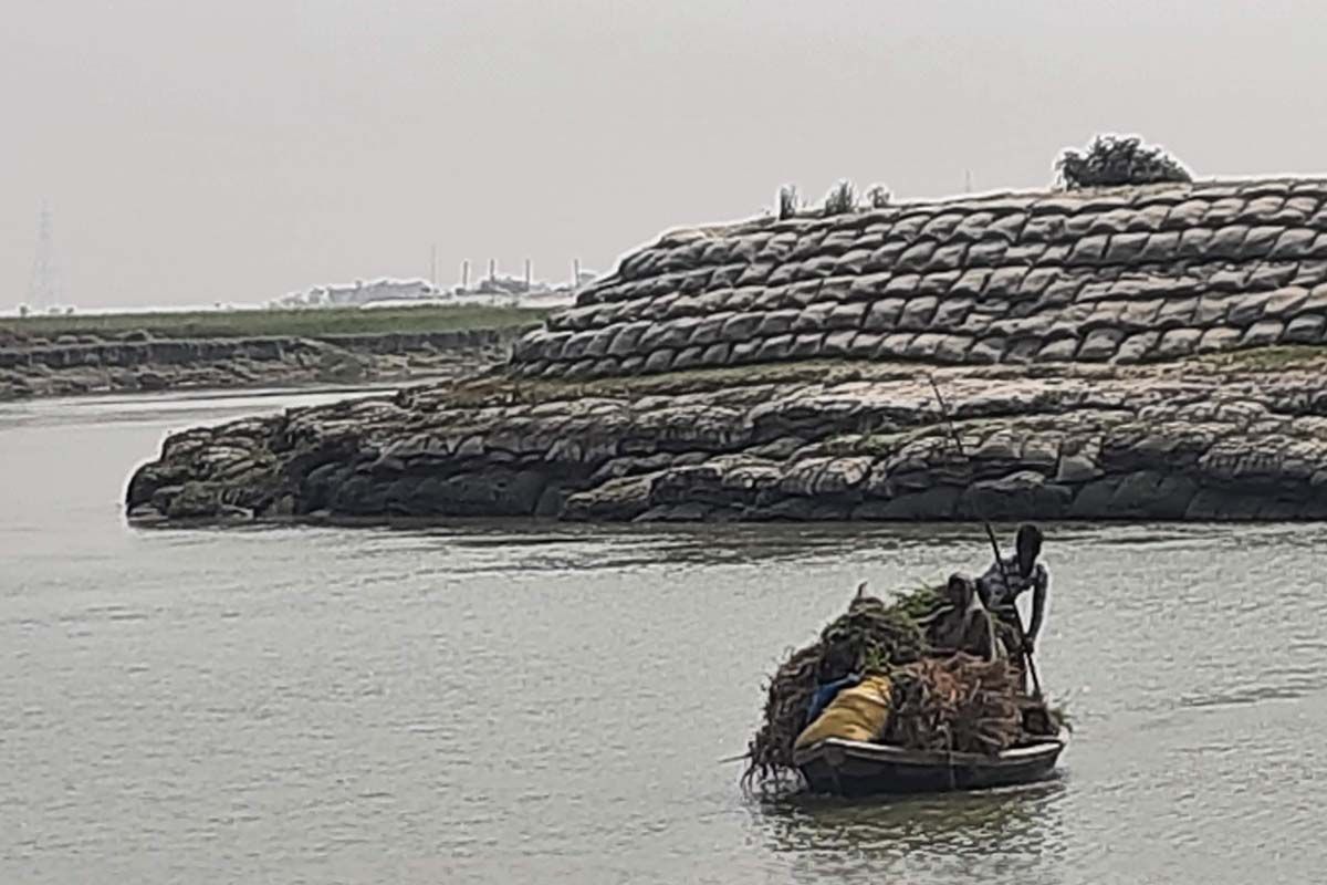
The people of the region have negotiated these changes. The homes they build, the cycle of agriculture, the recourse to migration, the food they eat and their modes of transportation have slowly evolved through mutual interaction.
The colonial past
River as a part of nature commands a form of supremacy over human beings. The urge to forcefully tame the river is not appreciated. Despite its devastating effect, people accept the river and its natural course, which might have positive and negative implications for human life.
However, this delicate balance between the river and the people has been primarily disturbed by colonial intervention and ideological manifestations. The colonial government since the 1750s unleashed multiple forces that have had a gradual but definite and irreversible impact on the region's entire biophysical backdrop and social life.
It all started with the colonial urge to collect more and more revenue on a consistent basis from people dependent on the river, the Gangetic plains. The region was once densely forested and dotted with the perennial Himalayan rivers. This not only brought water but also silt that was responsible for the land formation in the region.
Incidentally, but significantly, the colonisers were not accustomed to such rivers with massive drainage and silt load in their part of the world. Also, their idea of revenue and prosperity was deeply rooted in the imagination of dry land suitable for agriculture. Hence, they encouraged a massive inflow of tribal migrants from the southern Gangetic plains to clear the forests and make the land ideal for agriculture.
Unfortunately, this massive deforestation had unintended consequences for the entire ecological balance of the region. The clearance of the forests led to a loosening of the soil in the lower Himalayan tracts, which manifested in more silt coming along with the river and more river run-off. This changed the biophysical character of the river ecosystem.
The permanent settlement and the taming of the river
In 1793, Lord Cornwallis, who served as a governor-general in India, proposed fixing the revenue collected from the peasants by a new class of landlords called zamindars. Among other changes, this necessitated the delineation of land and water boundaries in the region.
As discussed above and in the earlier stories in this series, the course of Koshi can never be predicted. No one knows which plot of land the river will flow in a particular year. Koshi is ill-famous for its vagaries. On the one hand it can turn a barren piece of land, and on the other hand, it can cause another piece of land to become unproductive for decades by spreading silt over it. The sediments brought by River Koshi contain coarse sand also which is disastrous for agriculture. However, the fine silt, also called paank mitti, is very fertile. Hence, it depends on the nature of Koshi and what kind of sediment is deposited on a particular piece of land in a particular year.
Hence, if the revenue was to be fixed, the ground needed to be secured from the perpetual threat of flooding and siltation.
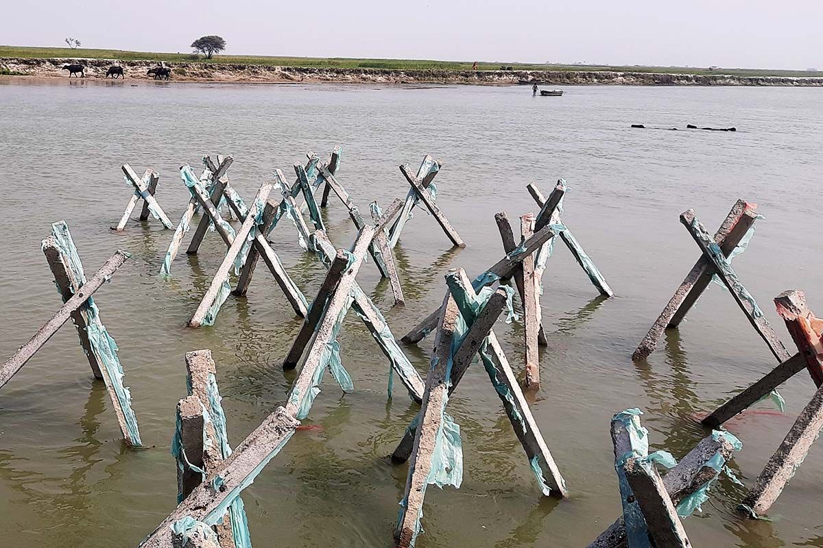
Interestingly, people have dealt with this anxiety of the river spilling over their land and crops forever, and they did construct small bunds to separate the river and the land. But the colonial project was different in scale and ideology. The colonial state envisaged a permanent embankment of the river, ignoring its drainage pattern and complicated ecosystem.
They looked at the river as a ‘disturbance’ to agriculture and property, and not as a constituent factor in the overall dynamics of natural resources in the region. They ignored the fact that the whole agricultural cycle and cropping choices are linked to the behaviour of Koshi River.
Thankfully, the British realised their mistake soon, and by the second half of the 19th century, the idea of embanking the river was dropped from the colonial discussion. There was a humble acceptance of the free-flowing river.
The post-colonial rekindling of the embankments
India achieved political independence from the British on 15 August 1947. In the preceding decade, the discussion around development planning was a part of the discourse for the national elite.
The Nehruvian idea of industrialisation-led development and nation-building emerged victorious in this debate. This national-level decision was an outcome of many other currents of the time, viz., the success of Soviet planning, post-war American hegemony, and the drive for multi-purpose river valley development projects shaped by the success of Tennessee Valley Authority and the euphoria of techno-centrism.
Apart from these global logics, there were also domestic rationales, viz., electoral calculations, employment generation, the imperative of nation-building and local-level power equations of landlords. In this move from a no-embankment approach to a pro-embankment approach, the authority of science and technology was harnessed to politicise the decision-making process.
Embankment and the aftermath
Almost all the claims made at the time of the construction of the embankment have fared poorly in the face of reality. Overall area under the floods has increased, and the embankments have been breached at least eight times since 1954, when the Koshi project came into being, causing severe damage to life and property in the countryside. The provision of basic amenities remains precarious, leading to an increase in out-migration from the region.
Tragedy does not end here. Despite consistent criticism of the embankments, the government of Bihar has consistently increased the length of the embankments, restricted the width of the river plains and built more bridges on the river.
The reason for this approach is politically motivated. A political economy has developed around the embankments, which includes the water resource department, administrative officials, politicians and contractors.
The voice of the people has been stifled due to structural and socio-political reasons.
Reframing the problem
Francis Bacon has remarkably said that history makes men wise. But we seem to have learnt little from the past.
History is critically important to understand where we come from and where the seeds of the present lie. There have been multiple wrong decisions at different points for different reasons, but we must identify some crucial ones.
First, the whole visualisation of land as the site of development in the region is false. This shows a poor understanding of history. The policymakers, both colonial and post-colonial, have not realised the fact that it is the Himalayan rivers that have created the landmass south of Nepal. The river water and silt are not separable but form a unity with various living species that find habitat in the river ecosystem. They are all linked with each other. For instance, due to bridges and barrages on the Koshi River, people have witnessed a loss in the diversity of fish. After the embankments were built, many older varieties of rice are no longer seen.
Secondly, there has been poverty in imagining what constitutes good life in the Koshi region. Modernity brought about by colonisation has not appreciated the existing land tenure system, people’s notion of a good life, the role of rivers in their life and how people live in harmony with the vagaries of the river. The logic of ‘utility’ has prevailed over the entire policy discourse.
The masculine arrogance added by the industrial revolution and post-enlightenment discourse has mistreated nature and tried to cut and shape it as per the colonisers’ notion of a good life. The river, which has been there since eternity, has been construed as a ‘disaster’. This construing or interpretation of the floods as a disaster ignored all the positive things that the river floods bring along with them.
Then came the idea of managing the disaster and undertaking the development. Development has also acquired an orthodox undertone. It is no longer context-specific. There has been a universal understanding of ‘what people need’, which has been imposed on the people in this region also.
Thirdly, even if the Koshi floods were construed as a ‘disaster’, there could have been other ways of dealing with it. The technology of embankments has been criticised for too long and has become obsolete by any standards.
Towards a good life
The disaster that we reckon in Koshi can be deemed to be a ‘development-induced disaster’.
In Koshi’s case, it was not only land but a fluid mixture of land and water that constituted life in the region. ‘The meaning of a good life’, ‘the construing of disaster’, and ‘the disaster management technology’ were all put together to bring us into the present situation.
Hence, I suggest that a superficial and cosmetic approach to ‘disaster management’ won’t suffice. What is required is the examination of the relationship between the model of development and the disaster itself. This requires a long-term vision and overhaul of our socioeconomic imagination.
Meanwhile, some steps need to be taken to improvise the situation of people living inside the Koshi River embankment. First, the government needs to stop constructing more embankments immediately. In my field studies, people overwhelmingly told me that they did not suffer much because of the initial embankments, which were around 20 km apart. The river at that time still had enough space to spread its water and silt, which also led to the distribution of devastation and its impact was milder. People lament that it is because of recent smaller embankments that water is further constricted, and they suffer intense and prolonged flooding.
Secondly, the existing policy of relief and rehabilitation for the Koshi victims should be faithfully enforced. The missing Koshi Victim Development Authority should be immediately traced and reinstituted with a mandate to work for the people affected by the Koshi floods.
Thirdly, the government must undertake a study and run a pilot project about the dredging of the river bed. Rajiv Sinha, professor of earth science at Indian Institute of Technology (IIT) Kanpur, suggests that the government should identify some hotspots of siltation in the river bed and start exploring the possibility of commercial utilisation of this silt.
Fourth, Professor Sinha, who has extensively researched the Koshi river floods, argues that the river has been changing its course for centuries. Hence, the possibility of rejuvenating abandoned paleochannels should be explored. If this happens, the water and silt of the river will spread more evenly, and not concentrate in a small area. This will reduce the damage-causing potential of floods.
Fifth, water and environmental activist Soumya Dutta opines that more cross-learning between people in similar ecologies like Sundarbans and Teesta is required. We need to learn how people in such riverine ecologies are undertaking ground-level small-scale structural interventions to ward off the impact of erosion.
Sixth, and very importantly, scholars like Ajaya Dixit from Nepal, who have been studying rivers for decades, suggest that we look at this problem from a newer paradigm where the entire Gangetic basin and the Himalayas need to be taken as one unit. Koshi River crosses multiple countries, and hence steps should be taken to develop a platform for transboundary dialogue and planning. How one country ‘develops’ its river will have a bearing on the fate of the river downstream. Climate change is also going to factor in soon.
Finally, we need to envisage a new model of development which respects the local ecology and resource base, involves people’s knowledge in the planning process, ropes in international actors, decouples development from land and reworks a water-based model of development.
All this is a tedious task that demands time and commitment.

