On Son Island, located in Vietnam’s Mekong Delta region, erosion is a major problem. While the government tries to check the erosion, small-scale solutions by locals in the region can play a major role in solving the problem, writes Ly Quoc Dang.
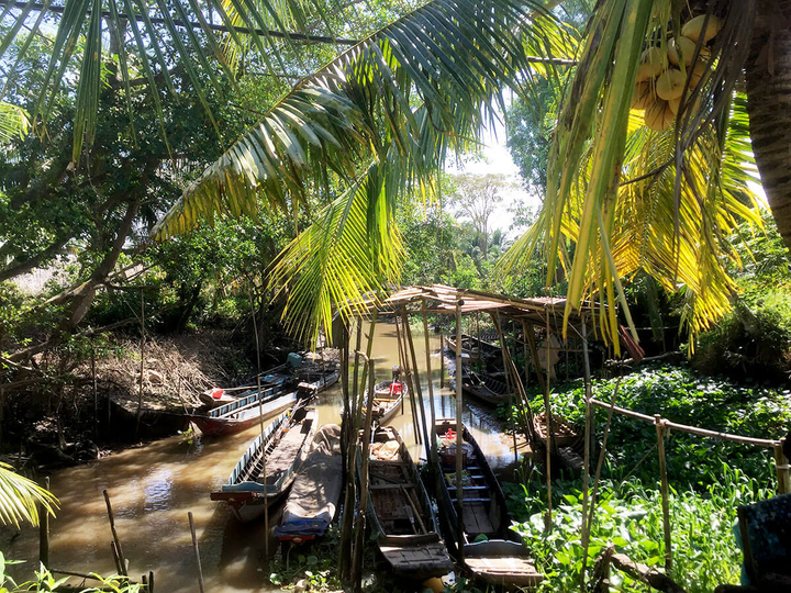
Son Island is a small island located to the west of Can Tho, the biggest city in Vietnam's Mekong Delta region. The island’s size is about 60 hectares, and there are 64 families residing on the island. The island is located on the Hậu River.

Traditionally, people on Son Island have relied on occupations such as farming, raising catfish, working as daily wage labor daily, and fishing for a living. Recently, the tourism industry has also started picking up.
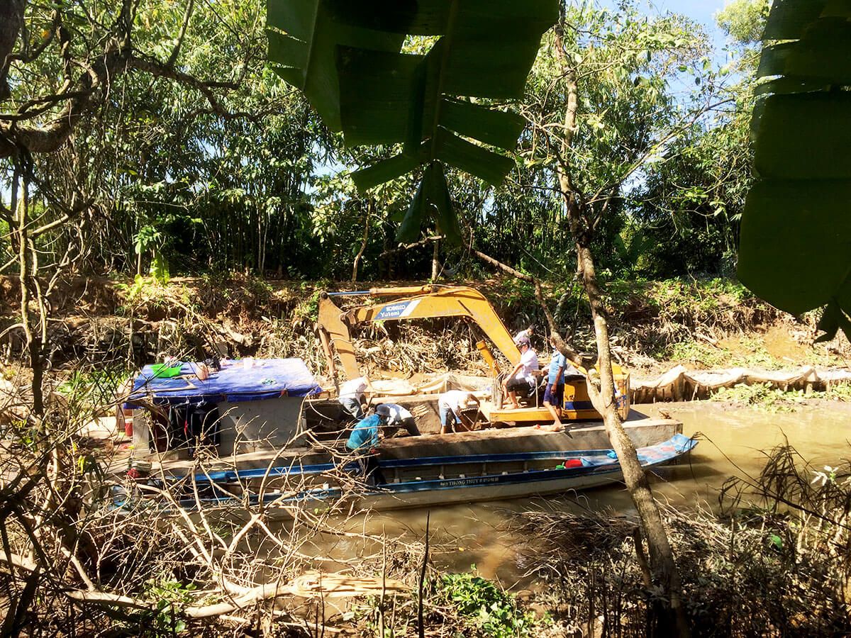
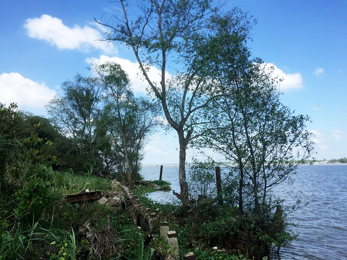
However, the island is highly vulnerable to erosion due to sand mining, uncertainty over water-flows, particularly floods from upstream, and erosion due to rains. The island is shrinking due to erosion along the embankments.
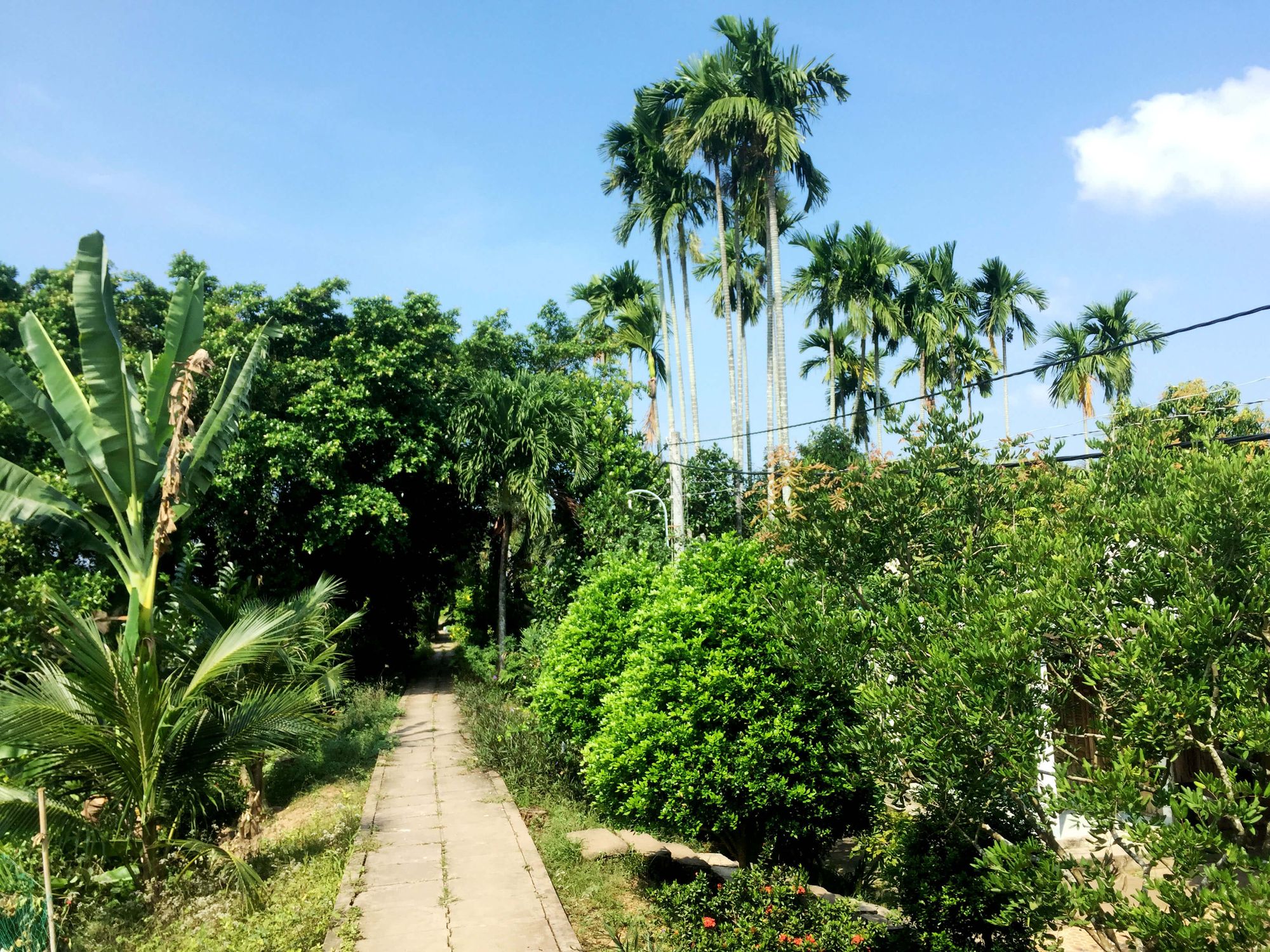
The locals are trying to preserve the island through indigenous ways. They have been trying to plant trees such as bamboo, melaleuca, and coconut, which can prevent erosion. People are also growing water hyacinths and Sonneratia Caseolari, commonly known as mangrove apples, to preserve landmasses.


The government on its part is also trying to preserve the island through initiatives such as building dykes along the island, improving the banks by filling more soil and ramping the shores with sandbags, stones, and tree fences.
I met Lê Thị Phước, a local officer of the Red Cross, who is involved in efforts to check erosion in the island. "Climate change is making the weather unpredictable. The waves are strong on the south side of our island. It's the major cause of riverbank erosion. In the past, the flooding season occurred from July to October. Nowadays, monsoon flooding starts earlier due to climate change. On top of this, river sand mining leads to the erosion and shrinking of riverbanks," she says.
"Local communities try to prevent erosion problems by simply fencing the riverbanks and closing the gaps by sandbags. People use bamboo fences to reinforce the riverbanks. They also plant water hyacinth and keep them together by placing them in a floating ring, a local approach to reduce the erosion problems. The local authorities have tried to solve the erosion problems by using stones covered by metal meshes to strengthen the riverbanks. They use coconut tree trunks to reinforce the eroding section and sandbags to protect the riverbank against the waves," she adds.

Various studies point out that the shoreline in Vietnam is eroding at a fast pace. The Vietnamese coastline stretches over 3,260 km, with a high population density.
According to a study by Tsung-Yi Lin et al., called Coastal erosion in Vietnam: Case studies and Implication for Integrated Coastal Zone Management in the Vietnamese South-Central Coastline, coastal engineering structures in Vietnam, "often lack monitoring and are not built to last for a long time. In fact, these structures appear to increase the vulnerability of the shoreline over time."
The study further says that the impacts of global climate change will further amplify "this pressing situation and create more inequities for vulnerable people living close to the shoreline."
In face of such vulnerabilities, local solutions can lead to more sustainable solutions towards landmass preservation in Vietnam.


